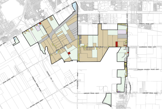
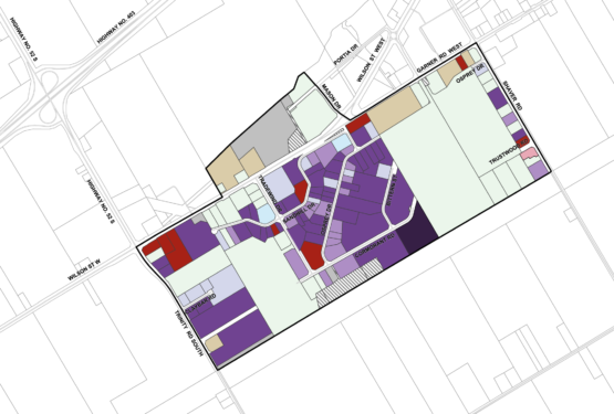
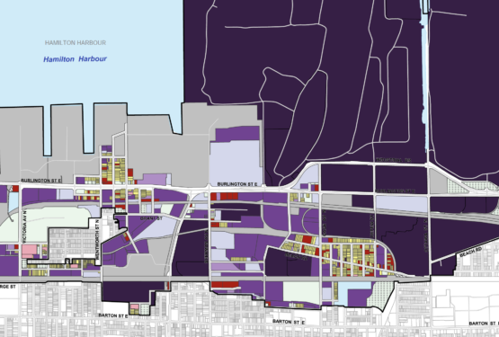
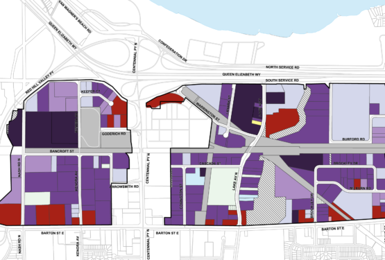
Business Parks
Choose from 8 Business Parks in Hamilton, Ontario
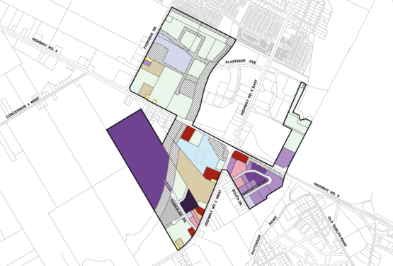
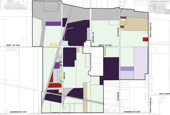
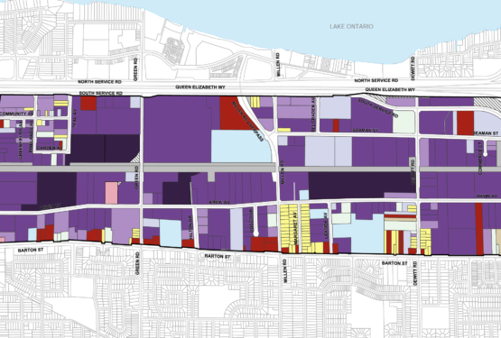
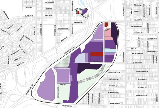
Hamilton offers eight business parks featuring multiple properties. Options are available for retail, industrial, and other commercial uses, providing established supply chains for multiple key sectors.
Find the business park that best suits your company’s needs below, or book a visit with the Hamilton Economic Development team to investigate in person.